
Exploration and the Unexpected in George Washington National Forest
George Washington National Forest was established as part of the Weeks Act in 1914. It was an expansion of US government efforts to restore and protect forest watersheds after a string of floods plagued the eastern United States as a product of extreme deforestation in the 19th century (one notable example from 1907 is described by Dylan Jones in Highland Outdoors). Over the next century, the US Forest Service would restore those denuded forests (to include those in Virginia and West Virginia). Today, Washington National Forest boasts over 1.8 million acres of land and is one of the largest blocks of public land in the eastern United States.
It’s here that Franbi — the driver for Betty, a 2014 Jeep Grand Cherokee — and I — in my 2020 Colorado ZR2, Lobo — chose to plan our next adventure. After the completion of a milestone modification to Lobo, we would travel from our Southern Maryland home to the border of Virgina and West Virginia to explore both the Washington and Monongahela National Forest for two days. However, more than in our previous experiences, weather would challenge our plans and force us to adapt and overcome.
Finishing Touches
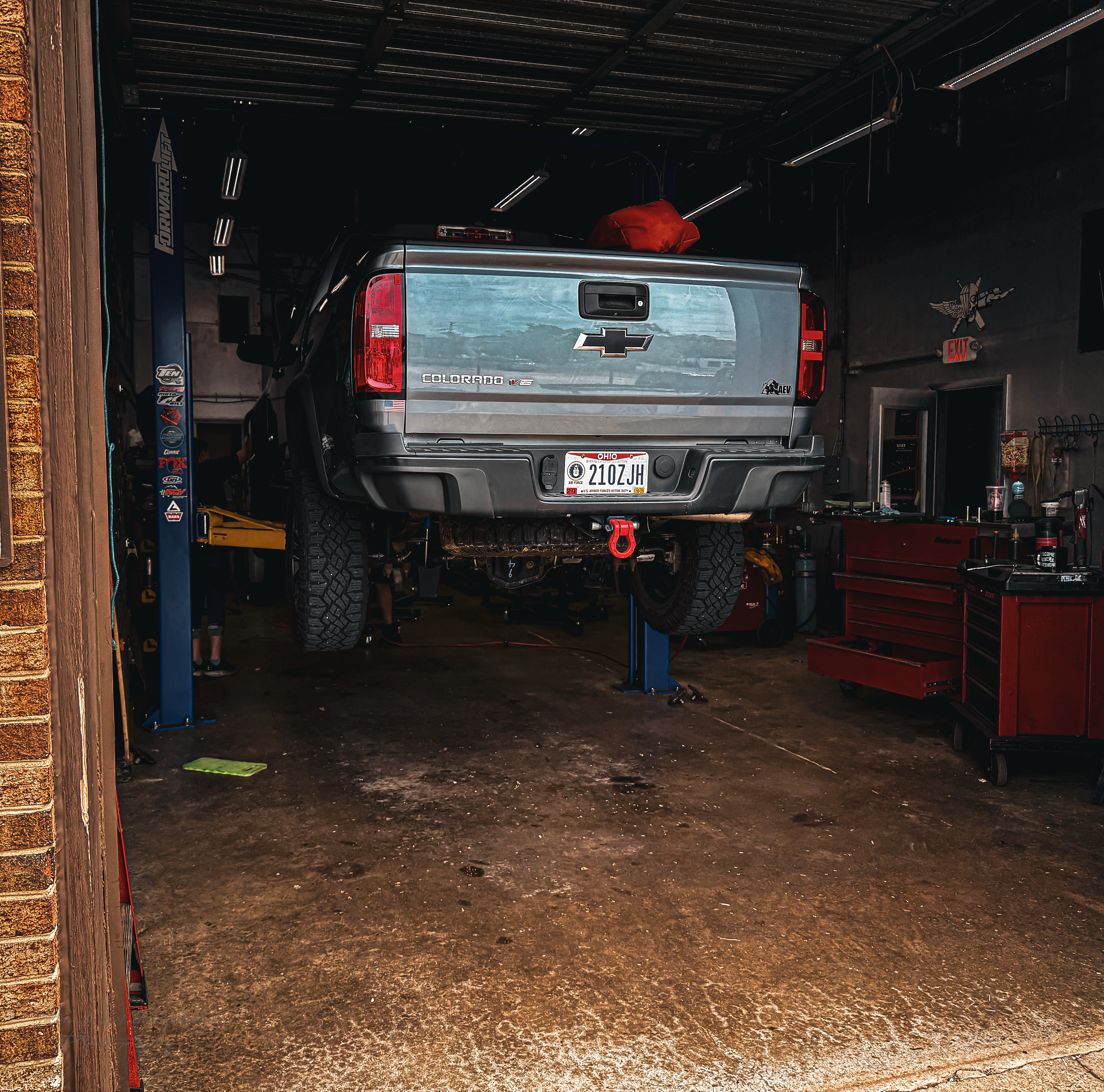
Our journey began early on a Friday morning, heading north to Annapolis to retrieve Lobo from World Tour Off-Road Equipment after the final adjustments would be made for the installation of a Warn Zeon 10-S winch. The winch would be mated to the truck using the AEV ZR2 Winch Mount, specifically designed for the front facia of the second-generation Colorado ZR2. This winch solution was chosen for two reasons. First, AEV’s intimate integration with GM in recent years to produce the first-generation ZR2 Bison meant that their implementation would be clean, and as close to OEM specifications as possible, reducing the build’s overall complexity and, therefore, risk of failure. Secondly, this is the most lightweight implementation of a winch available for Lobo. While there are many quality bumper offerings with winch mounts, the added weight would reduce Lobo’s payload. On the other hand, AEV’s winch mount replaces the factory crash bar and resides under the front facia, resulting in a nearly net zero weight change with the exception of the winch itself. When we arrived at World Tour late morning, Lobo just needed to have the fairlead opening cut, and the front facia re-assembled.
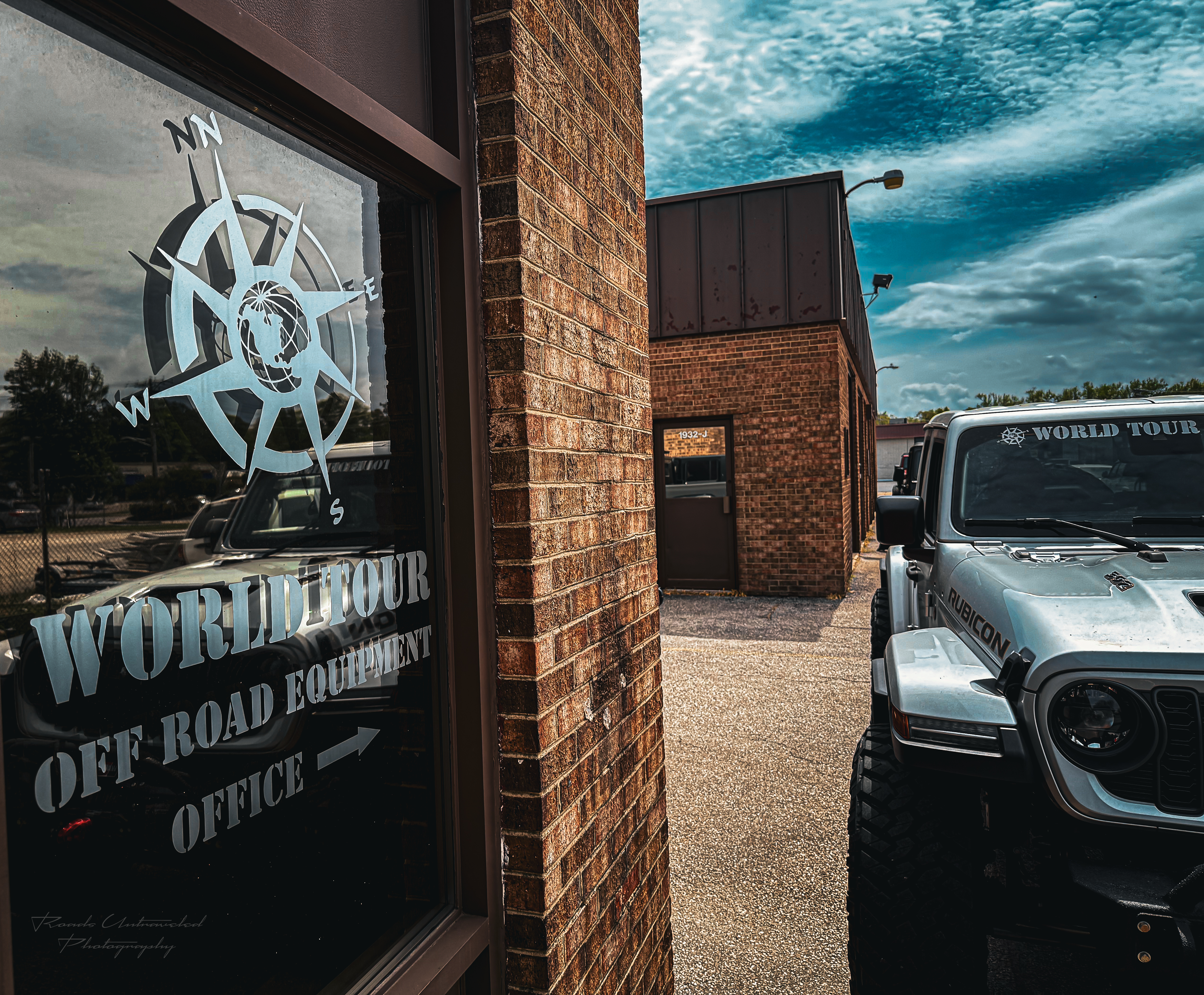
World Tour Off Road Equipment was founded by Paul and Ginger in 2008 as a result of their passion for outfitting 4×4 vehicles (particularly Jeeps) and custom solutions for unique challenges. What began as a personal goal to build an overland-capable Jeep and trailer would eventually culminate into multiple bays for any and all type of off-road outfitting job — from bolt-on solutions like Lobo’s winch to fully custom suspension and bodywork, and a small, agile team to support those projects. Paul in particular has a sincere passion for off-road racing and motorsport and will gladly discuss customers’ projects and visions to help them prioritize and organize their builds. Also, their lovely dog, Cedar, will gladly accept any and all attention from new and returning customers alike.
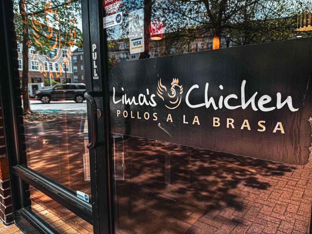
While Paul and Ginger finished Lobo’s winch install, we set out in Betty to get supplies for our trip and have an early lunch so as to eliminate a stop later in the day. Paul was good enough to recommend Lima’s Chicken, a local Peruvian restaurant (there are only three locations, all within the state of Maryland). We stopped at a local grocery store to gather our final provisions, loaded them into Betty’s 12V Anker Everfrost II refrigerator, then made our way to Lima’s. We knew immediately that we’d heeded wise counsel when no less than a dozen construction workers and a handful of families filled the booths at Lima’s — we’d arrived at a local favorite. I opted for the chicken flautas, while Franbi ordered the half chicken with yucca fries (a must-have if you find yourself at Lima’s).

We returned to World Tour after our meal to pick up Lobo, thanking Paul and Ginger for their time and craftsmanship, and set off westward for Washington National Forest. From Annapolis, we took the north loop around Washington DC, then across the I-66 and US-48, stopping in Petersburg West Virginia for fuel.
Smoke on the Water
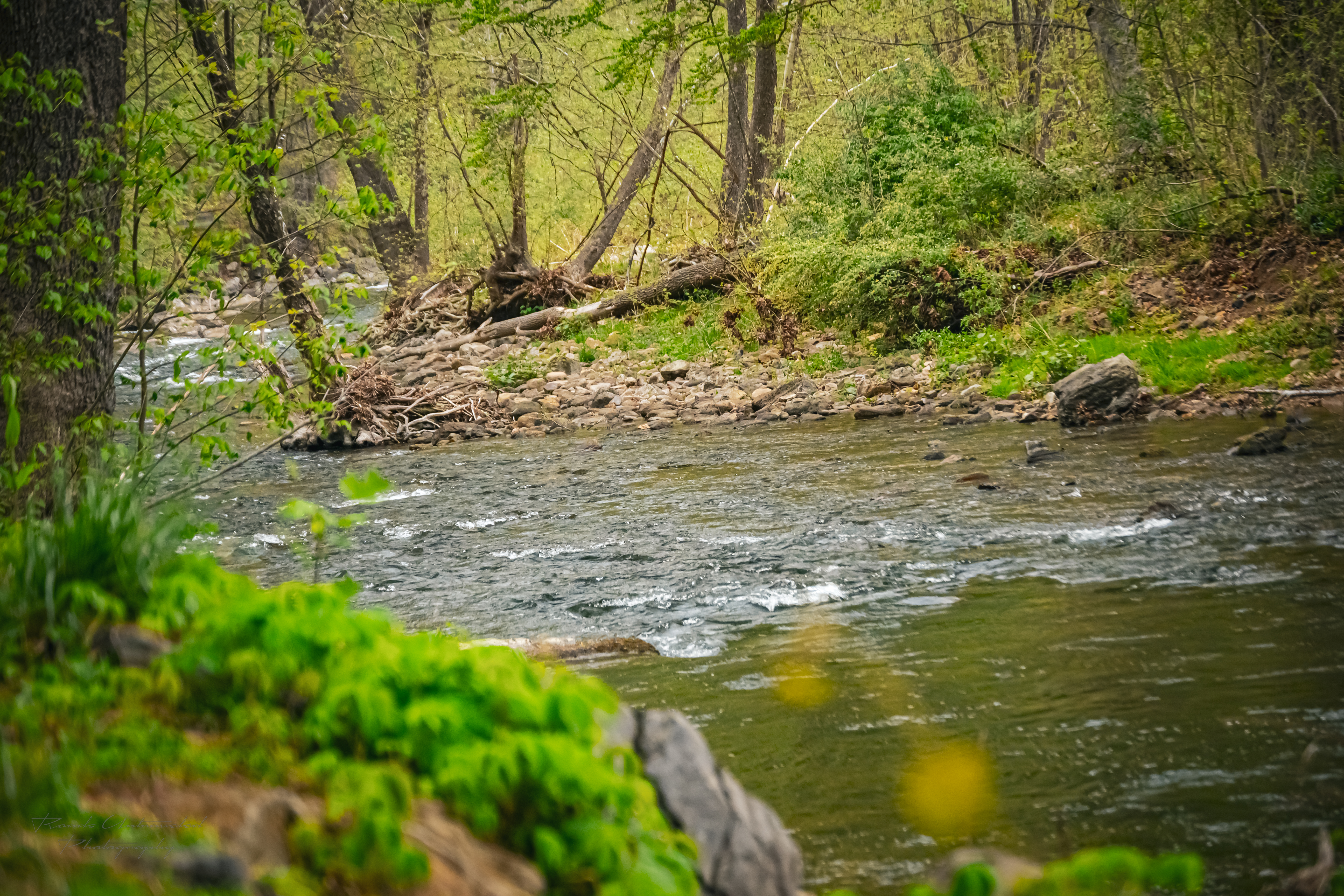
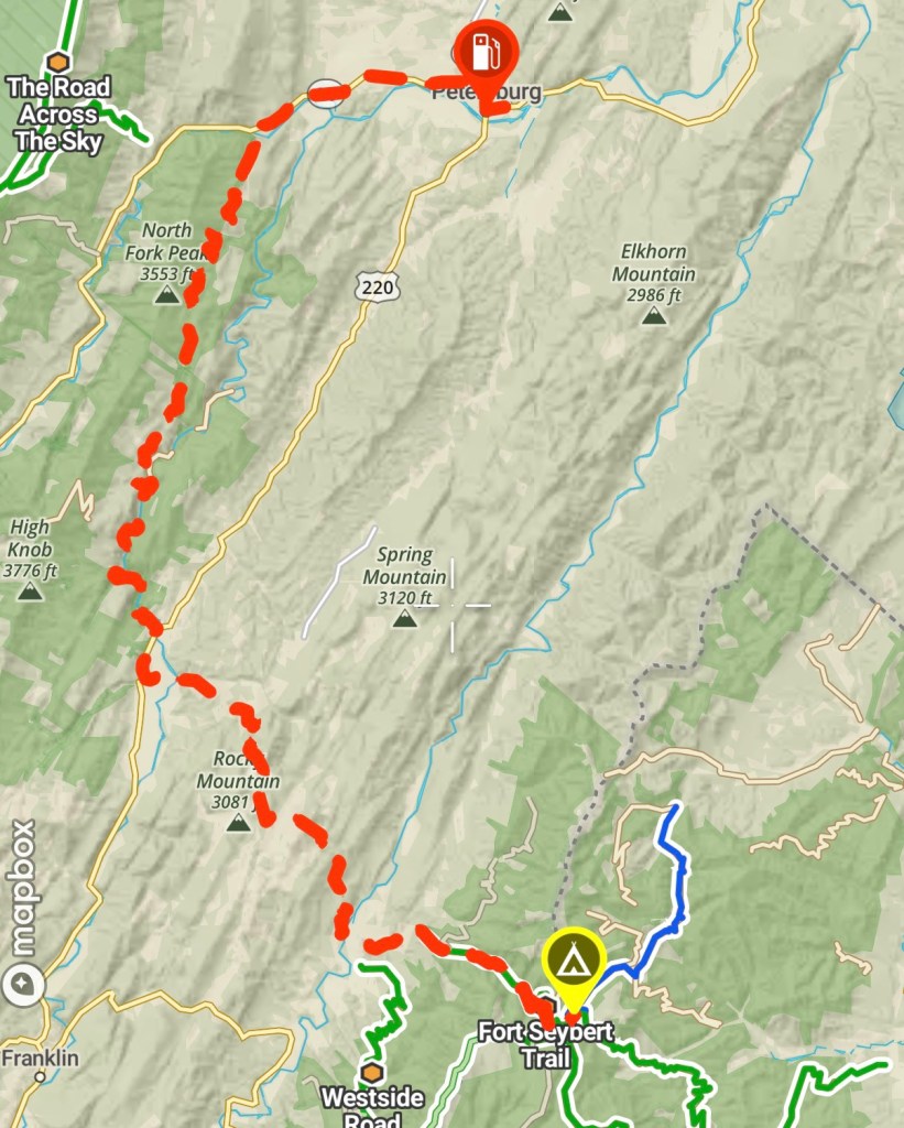
Following our resupply in Petersburg, we set out for camp via the Smoke Hole Road, a scenic paved road nestled between the North Mountain and Cave Mountains in the Allegheny, closely following the Potomac River. This road sits between the two mountains within a half-mile deep canyon, named after the characteristic mist that rises from the river. It was the perfect way to be welcomed into the region we would call home for the next two nights. We turned off of Smoke Hole eastward towards Fort Seybert, looking to find a dispersed site (our preferred way to camp) part-way through the it in Washington National Forest.
A note on campsite planning. While we prefer to camp at dispersed sites, we generally make it a practice to identify a designated campsite or lodge nearby in the event that a dispersed site can’t be found or they are all occupied. In the best of circumstances, night driving on forest lands is dangerous, so adventurers should have a plan to be at a campsite by dusk, and if they can’t, they should divert to their backup accommodations.
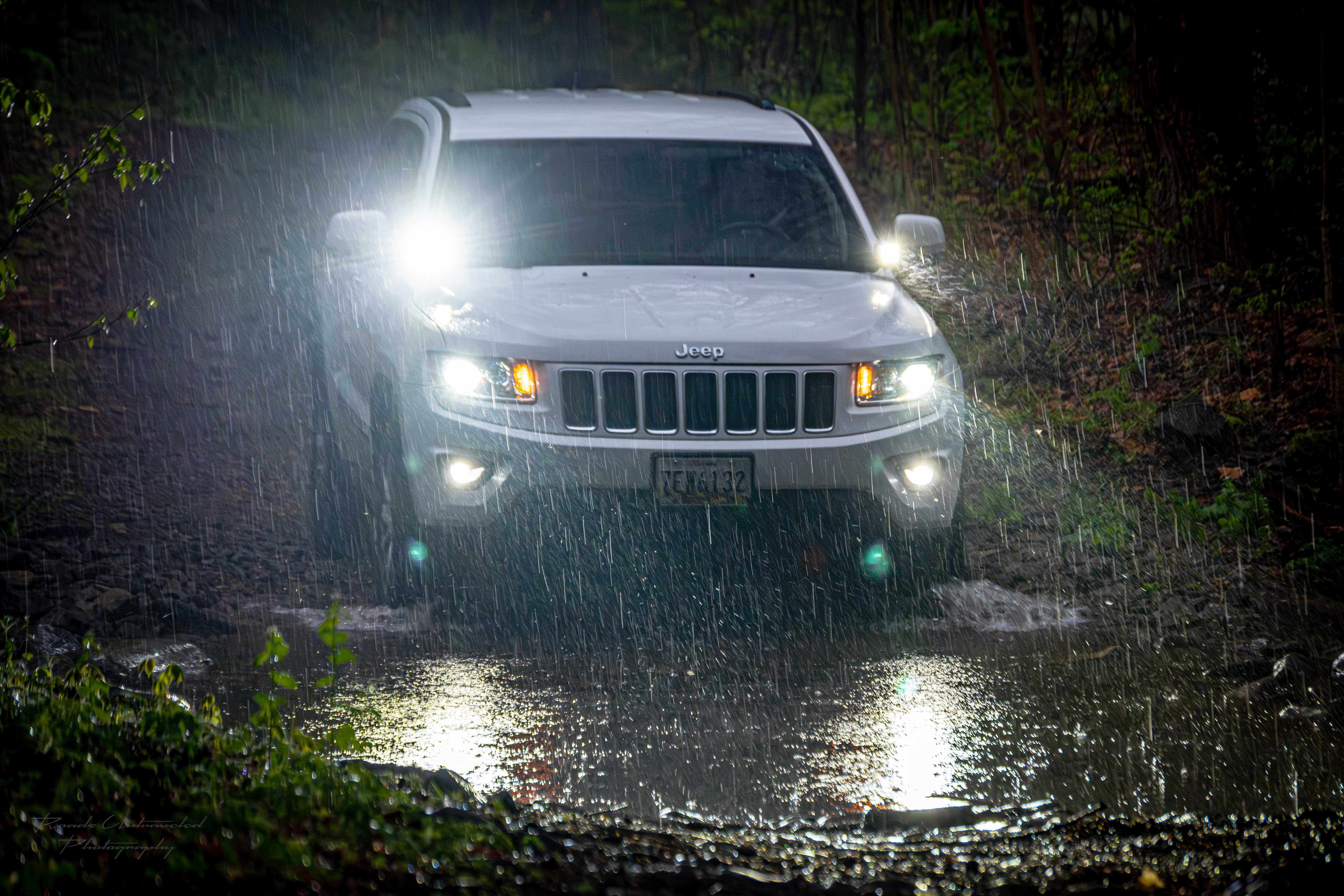
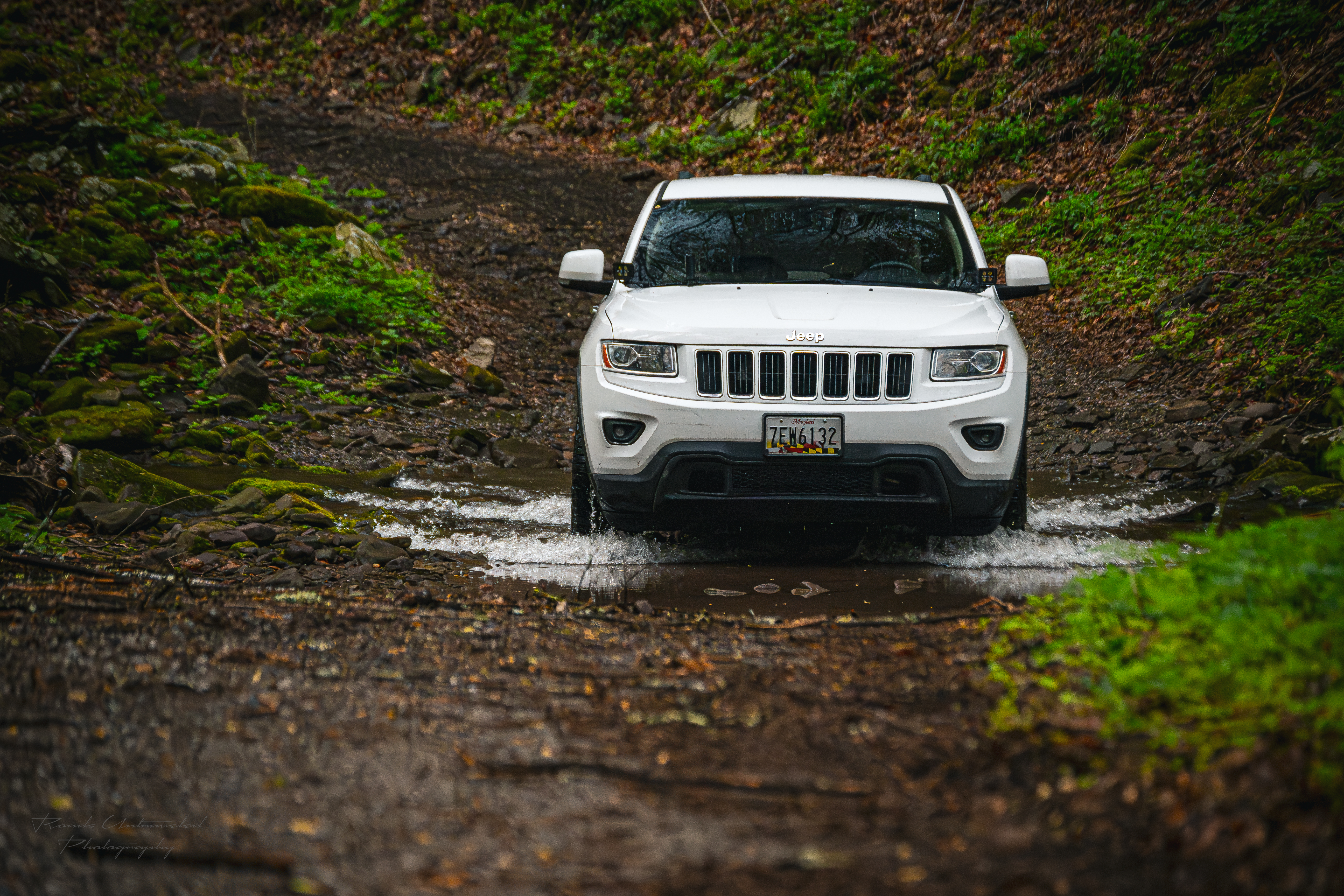
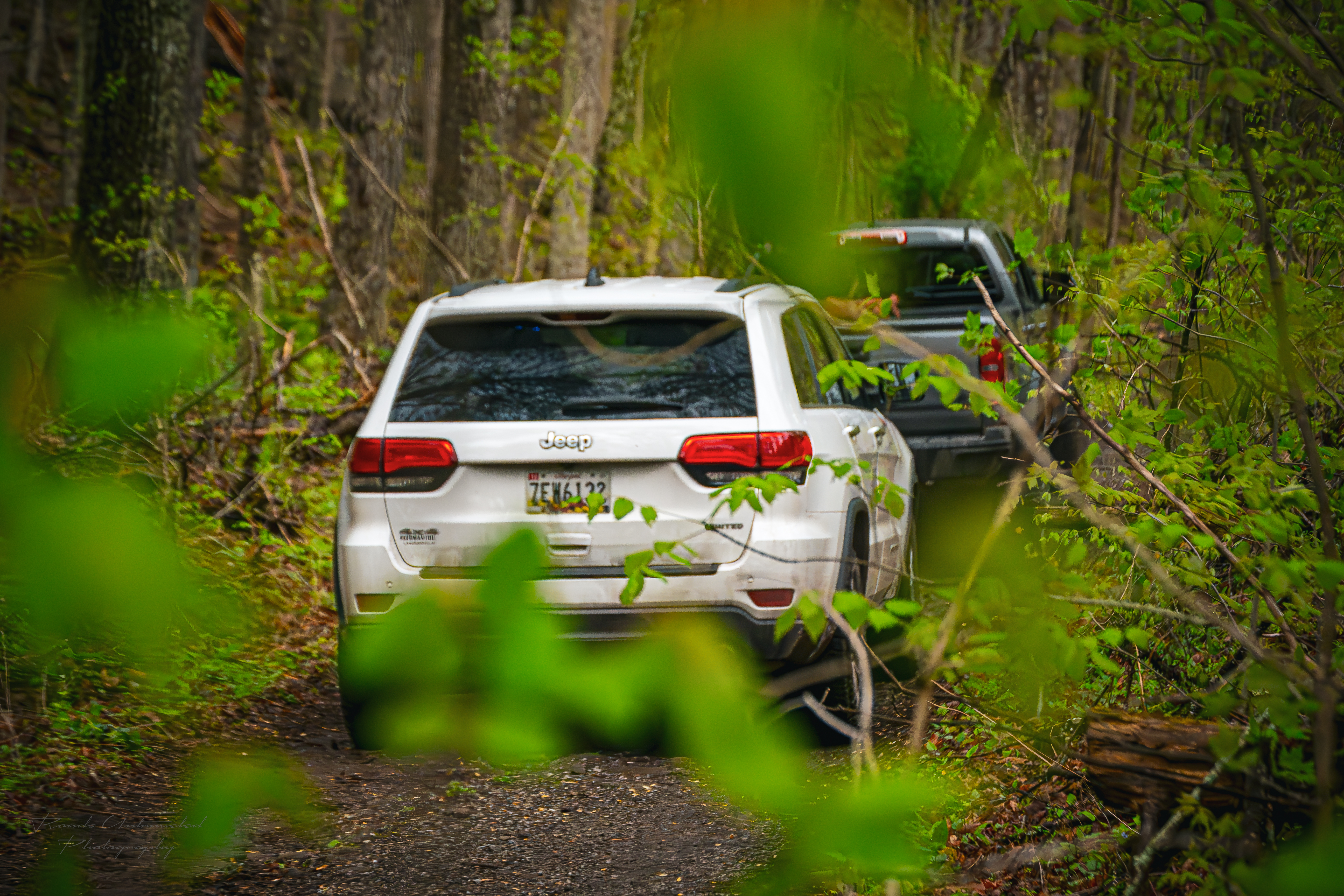
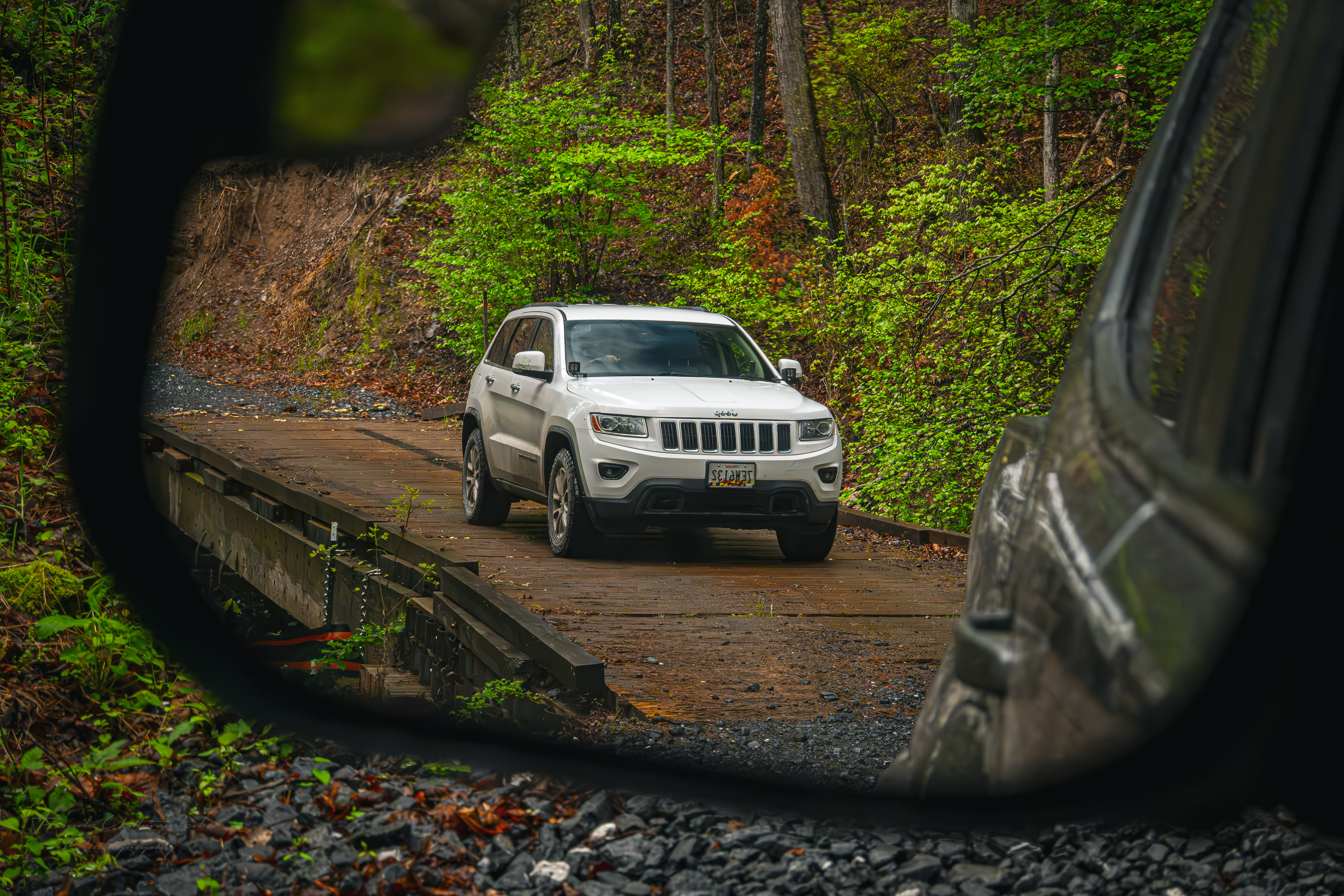
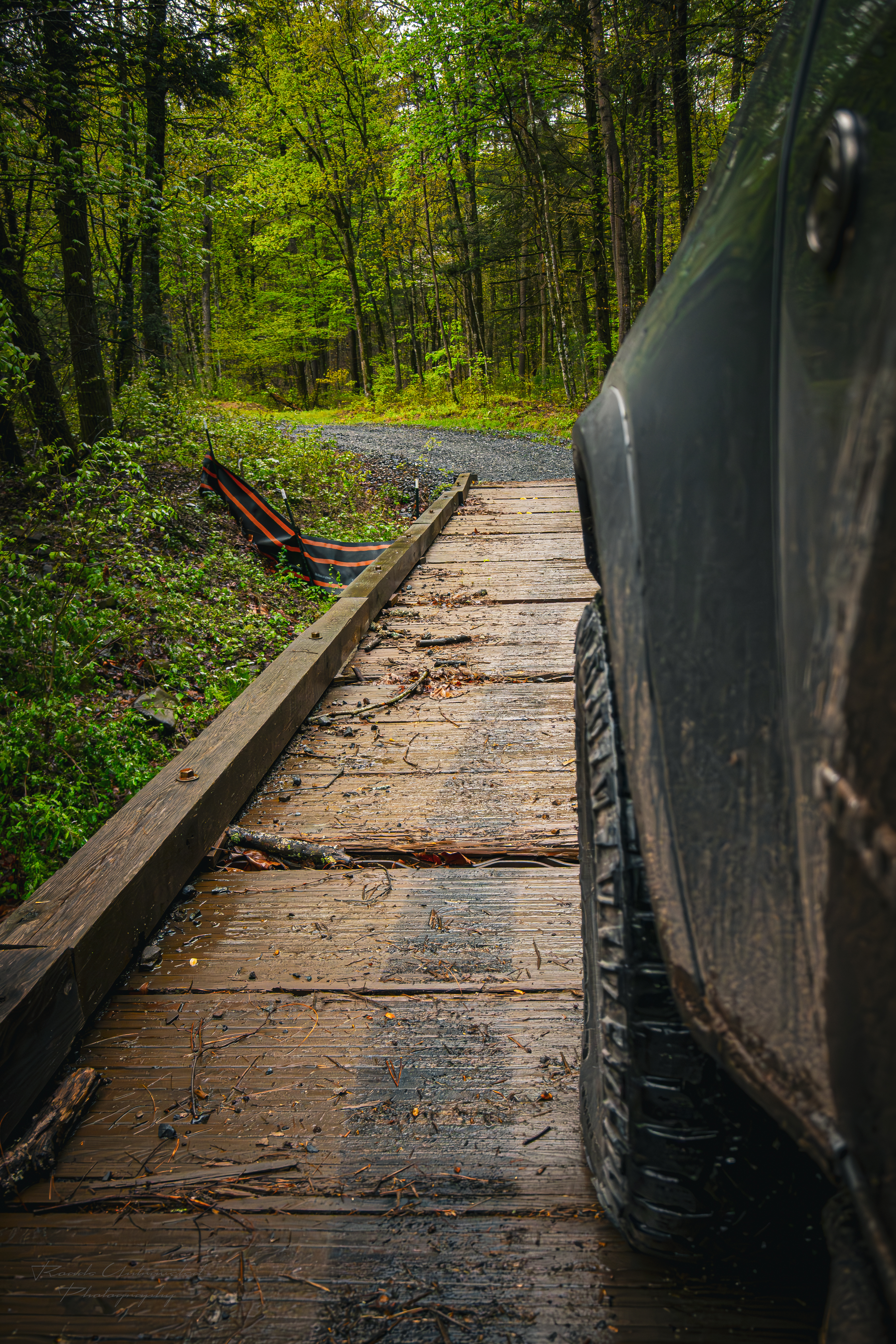
With the sun slowly descending below the tree line, and rain starting to fall, we turned onto Fort Seybert to begin our search for a campsite. The trail, formally designated as Forest Road 87, is mostly well-paved gravel, with some minor rocky shelves and obstacles. On X Offroad identifies it as a 2 of 10 difficulty, and we would generally agree with that designation. The trail follows Rough Run Creek eastward until it converges in the heart of the North Forest Ranger District of the Washington Forest with a number of other routes. There are also approximately 4 small water crossings that, despite the downpour that would ensue that evening, remained no deeper than two feet with rocky beds beneath.
We located a group of suitable sites about halfway through the trail, so we hastily parked and began to make camp. In moderate rain, our priority was to set up our tents as quickly as possible, then set up the 10ft pop-up canopy to have a covered workspace to finish making camp. In this environment, the Gazelle T4 Overland Edition tent was paying dividends. Not only does it boast the same 90-second setup time that all Gazelle tents feature, but the Overland Edition includes Gazelle’s footprint to add an additional layer of water protection from the ground, and heavier duty tent stakes that proved very appropriate for the rocky ground at this site. We used a standard straight leg 10ft by 10ft canopy, which was very useful, but an awning system will be incorporated into a future iteration of the Lobo build to accelerate making camp in rainy conditions.
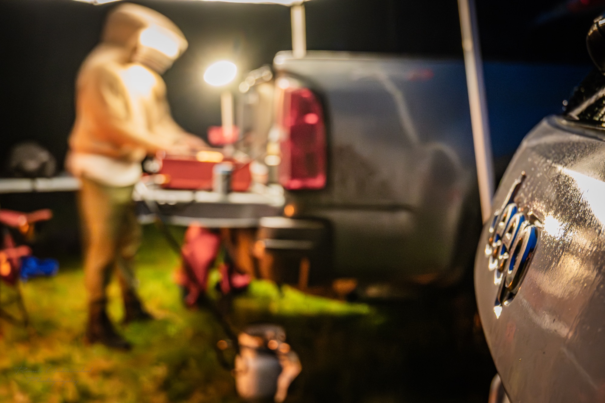
With our critical camp elements set, we proceeded to establish our galley, which simply consisted of unpacking Franbi’s Blackstone camp griddle on Lobo’s tailgate, and managing cookware and ingredients on a 5ft foldable table. Franbi was our camp chef for the trip, and on the menu for the night were some simple yet delicious smash burgers. The Blackstone was perfectly suited for achieving a crunchy sear on the beef but preserving a juicy burger. After a day of travel, waiting for the completion of a modification, and adapting to the weather, our meal was all the more enjoyable. We caught up over an Ignik Firecan —we’d anticipated wet weather throughout the weekend—, unwound, then went to bed to the symphony of forest sounds, which was further enhanced by the rain on our tents.
Reroute
In the morning, we rose refreshed, if not grateful that our tents had held up. Over the night, the rain would be accompanied by moderate gusts which buffeted our tents, but they held up without issue. Franbi quickly got to work on breakfast (Bacon, Eggs, and Potato Hash) while I got to work on coffee using our Aeropress XL.

Our intended route for the day would consist of backtracking westward along Fort Seybert Trail back onto the US-33. We would then cross the Allegheny Mountains along the Osceola Spruce Knob Trail, then explore the Monongahela National Forest via Glady Durbin trail and Old Mine Road, ideally finding a campsite along the Cheat Mountain. Following breakfast, we quickly packed up our vehicles and departed for the day.
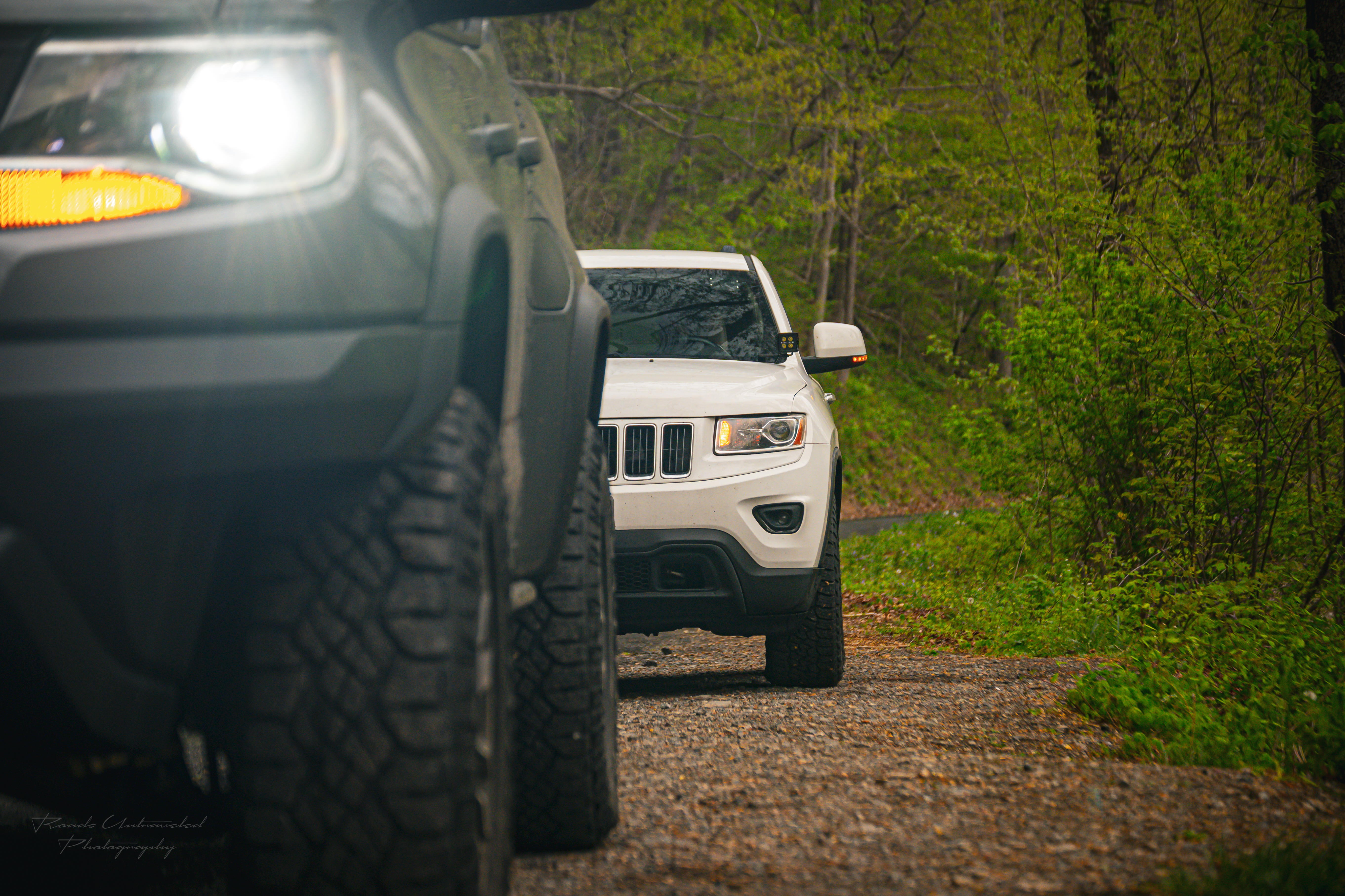
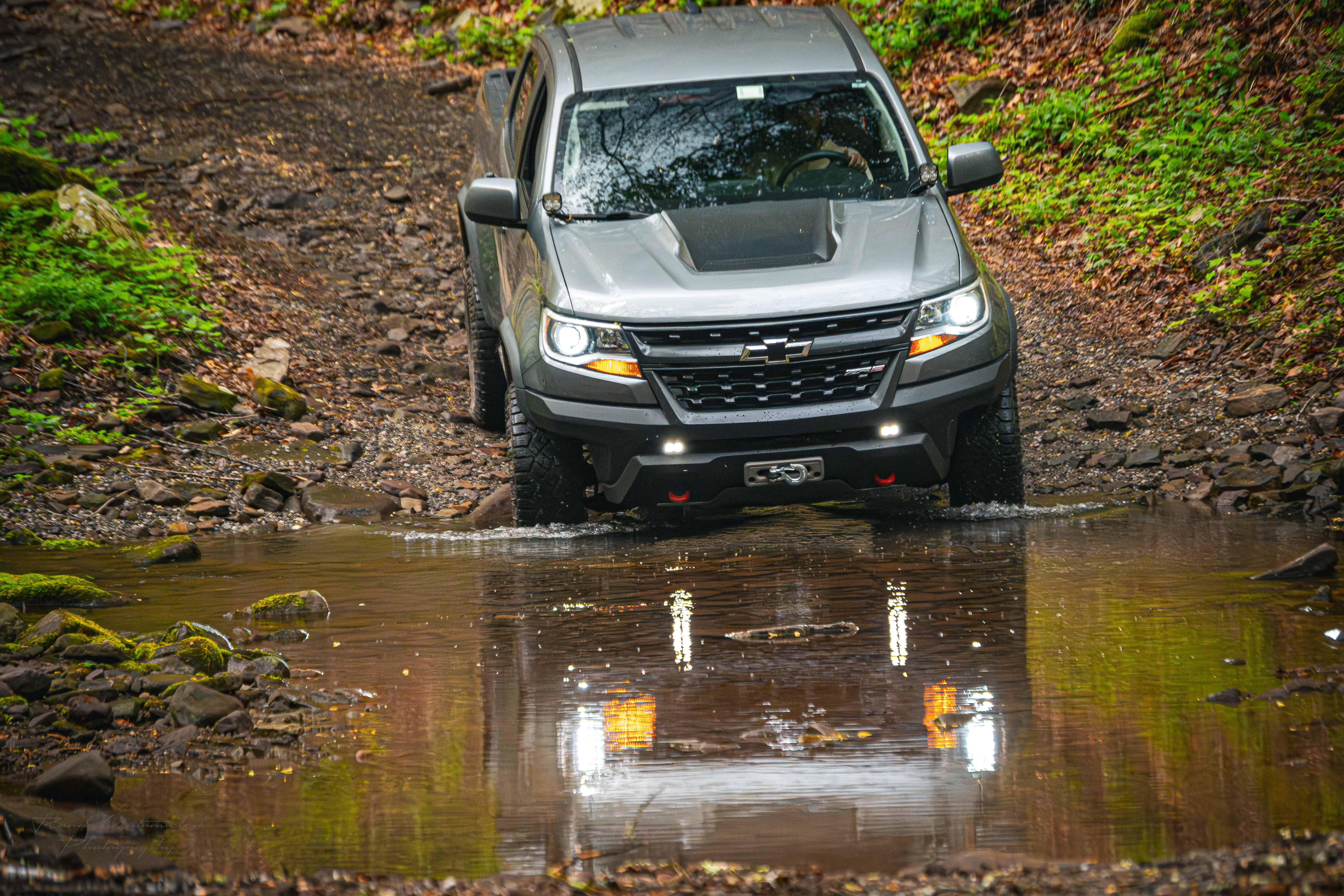
We were surprised that despite the consistent overnight rain, the water crossings we forded the night previous were not much deeper and remained easily passable. However, after only a few miles on the trail, we were forced to stop due to a large tree obstructing our path. As it turns out, the winds were strong enough to fell a spruce tree overnight! Franbi and I dismounted Lobo and Betty to analyze the situation. The tree was far too low for our trucks to clear it, and unfortunately there was no way around it — on one side was a muddy hillside, and on the other densely packed spruce trees. We decided that this would be the perfect opportunity to break in Lobo’s new Warn winch!

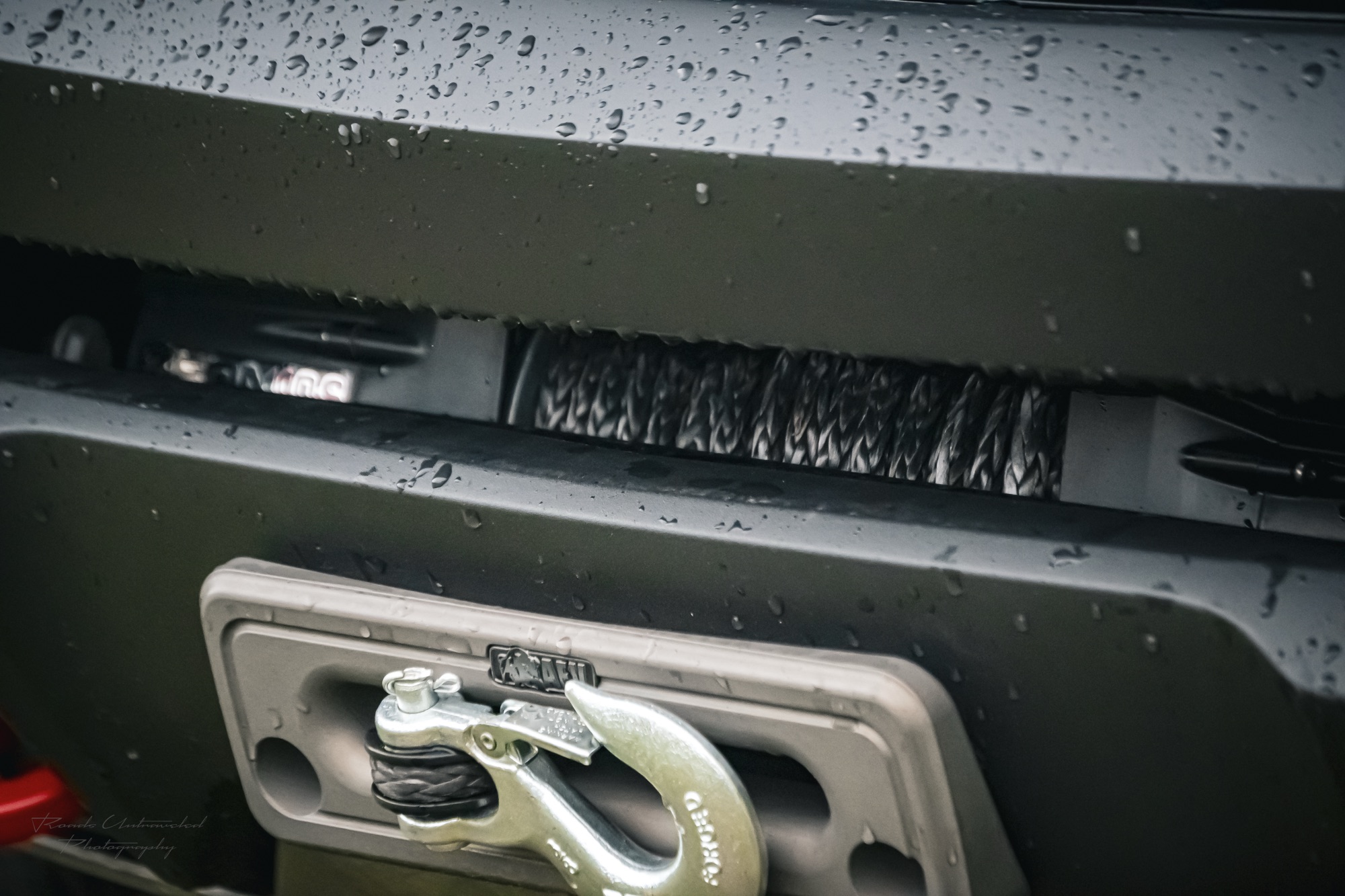
Operating a Winch is not something that should be taken lightly. In recovery situations, while they can make recoveries significantly easier, they can involve an equal amount of risk of injury or damage to a vehicle if employed improperly. It is important that travelers take the time to familiarize themselves with the features and limitations of their specific winch and educate themselves (a number of organizations offer dedicated recovery training) on the safe and proper use of their winch. In this situation, as the owner of the winch, I would be the director of the attempted tree removal. Our strategy was to run the Warn synthetic line out until only one layer of line remained on the drum, out to the tree and back to the truck using a tree strap, soft shackle, and pulley block. The winch hook was then secured on one of Lobo’s recovery front hooks. This scenario would essentially double the winch’s pulling force due to the pulley and maximize that force since the line was extended out to the last layer on the drum. We used one of our rain jackets as a winch damper in case of a line failure, cleared the danger zone, and began to reel the winch in. Unfortunately, the tree’s size and the gravel terrain would prevent the tree from moving, and instead, Lobo would begin to slide towards the tree. After a handful of attempts we abandoned the plan, as we simply didn’t have the traction to move such a large tree. In an ideal situation, we would have also had a chainsaw to cut the tree into sections that would perhaps have been light enough for the winch to move, but alas we did not come that prepared this time out. It was time, then, for us to find a Plan B.

The priority was to establish a way out of the forest and back to civilization first. Then, we could assess a new exploration route and campsite options for the night. After reviewing our maps, we found that the most direct way back to the US-33 would be to head eastward into the mountain to complete the Ft Seybert Trail, then transition to Vepco Road. From there, we could get to the US-33 and, depending on the time it took us to get there, resume our previously planned route, or come up with a new one. One of the beauties of how large the Washington Forest is that you’re never very far from some form of campsite. With a new plan, we turned around and made our way deeper in the mountains.

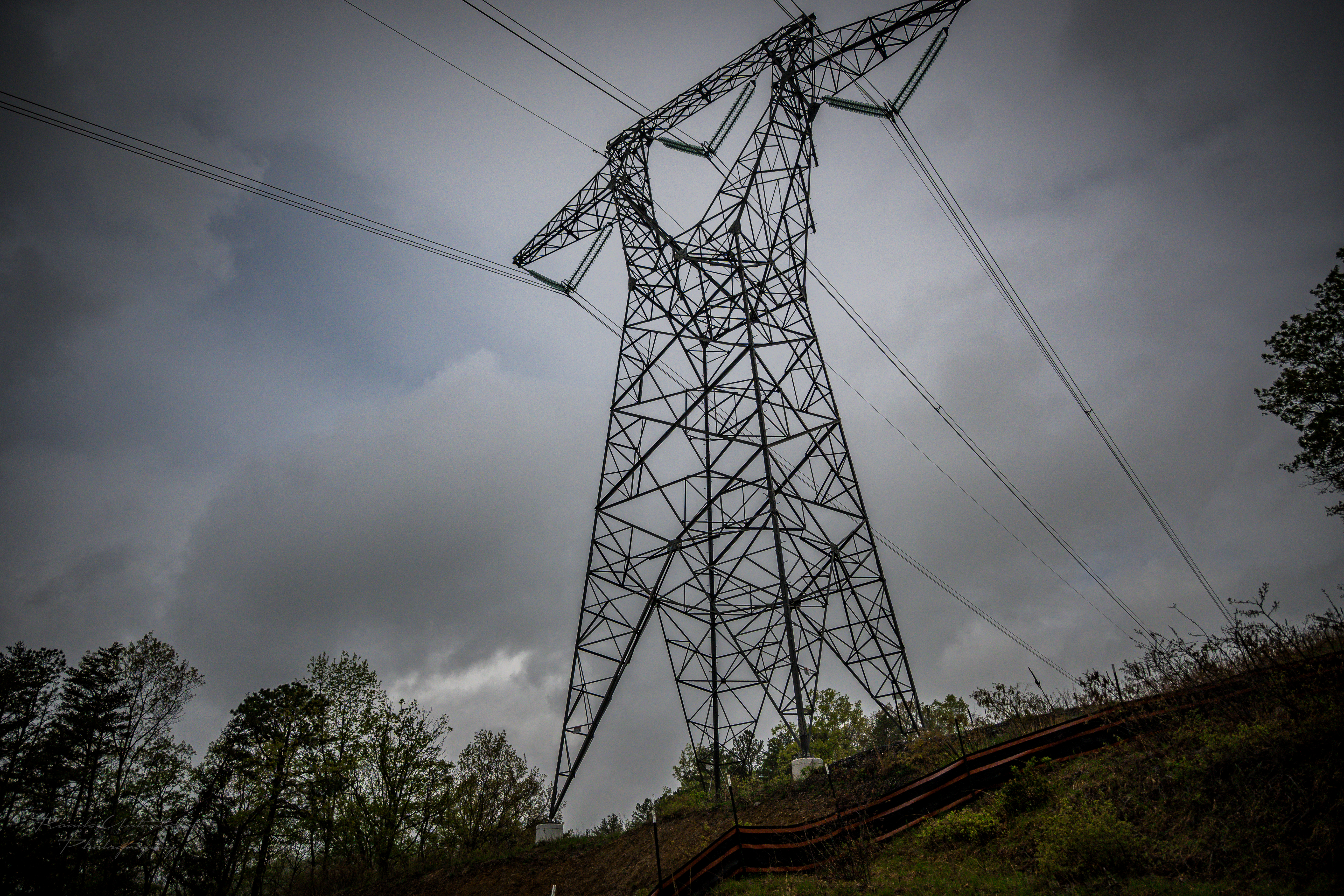
Vepco Road, or more officially, Forest Road 240, is a service road primarily used by Virginia Electric Power Company (VEPCO) to maintain and service the power lines and towers that cut through the mountain. As a result, the road was generally very well maintained and easy to drive and incredibly scenic. The road meanders along the mountain, switching back and forth to follow the string of towers it is intended to align with. And each time we would pass a tower, we would catch a glimpse of the vast forest below us — while hearing the buzzing of electricity pulsing through the power lines above our heads. Nothing like the thrill of a little danger to keep things exciting!
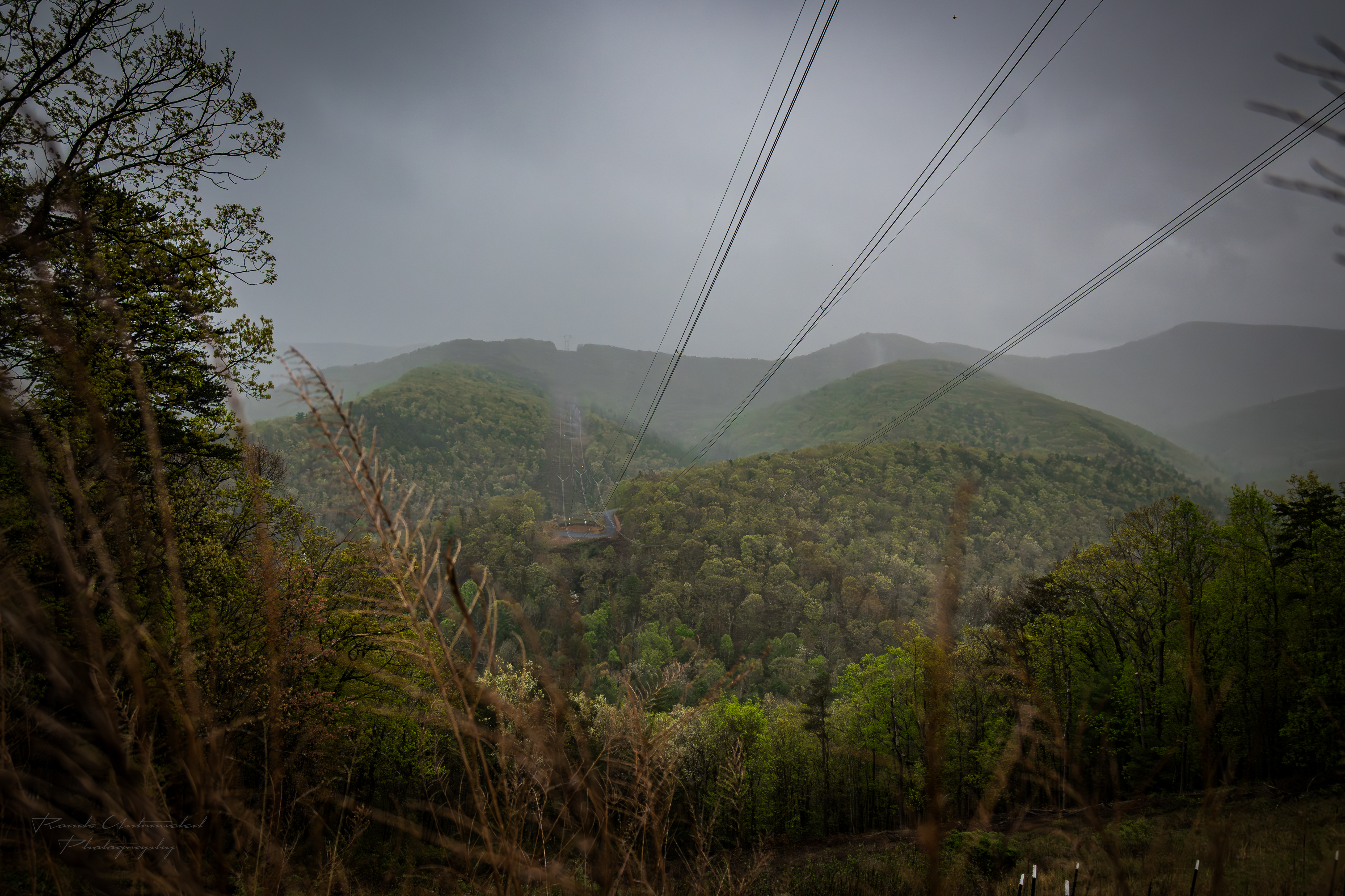

The 12-mile road was breathtaking, and well worth the detour. We transitioned to Long Run Road, then to Peake Mountain Road, and finally to US-33. From there we decided to make a lunch stop in the town of Franklin, as it seemed an ideal stopping point to assess what we would do for the rest of the afternoon.
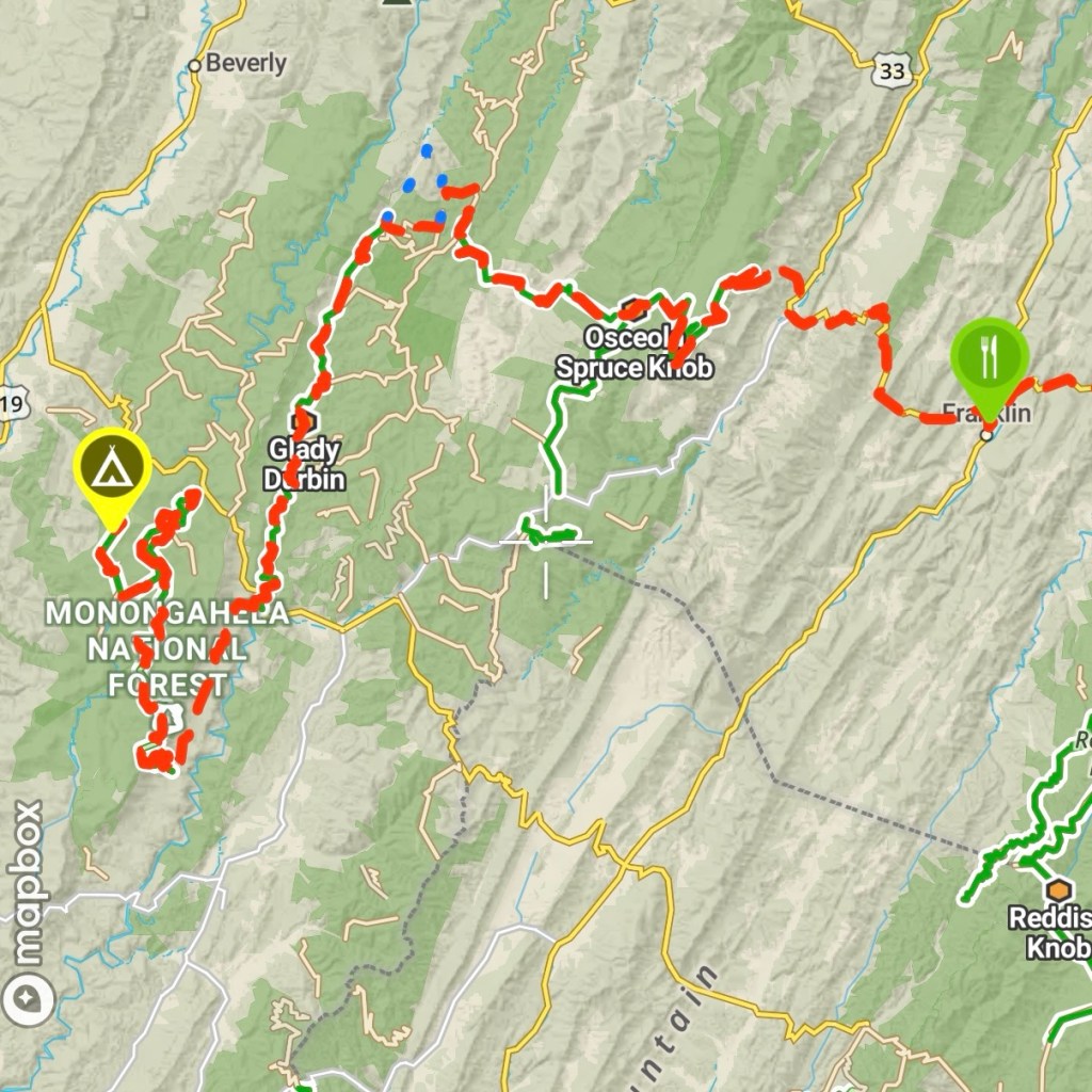
We arrived at Franklin eager to have a quick lunch and refuel our trucks. We both knew that if we were quick, we’d be able to return to our original route and have time to find a site before nightfall. Based on our research of the area, we were eager to make it to Old Mine Road to see what we’d been told were some of the most underrated views of Monongahela Forest. With fuel tanks and bellies refreshed, we loaded back up and pressed on towards Spruce Knob.
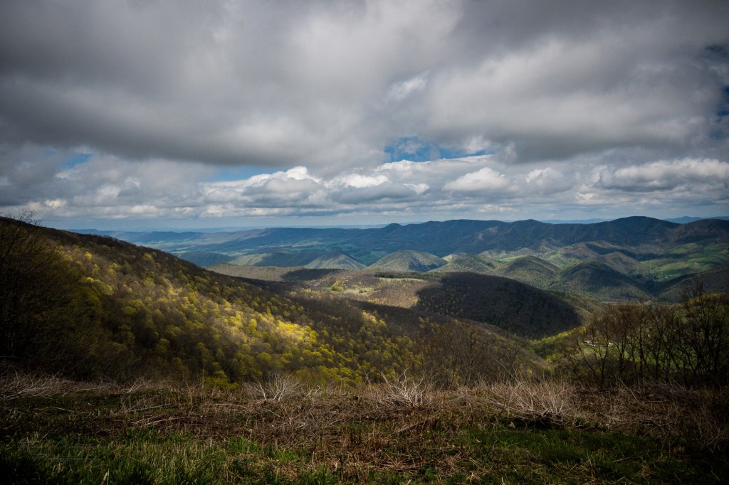
As we entered the Allegheny, we found ourselves balancing speed with caution. While not significantly more technical, we found Osceola Spruce Knob trail to be rockier than the trails we’d completed thus far. So, while we felt the call of our final destination in the distance, we exercised restraint so as not to cause any unnecessary damage to our vehicles or to the trail itself. Besides, the scenery on this trip, though fairly similar throughout the day, was no less incredible each time we looked out the window.
Old Mine Road
It was about half past four in the afternoon when we’d finally arrived at the start of our final trail: Old Mine Road. The start was marked by a bridge than spanned the Shavers Fork river, a feeder into the Cheat River further north. We crossed the bridge and began our search for camp.


Old Mine Road was a common mining road for the Mower Lumber Company during its 18 year lumber operation after it purchased the Cheat Mountain Tract from West Virginia Pulp and Paper in 1942. After that long using unsustainable logging practices, the land was virtually stripped of lumber, and the landscape began to degrade as a result. The impact on the land was further exacerbated when it was then mined for coal and other resources until the 1980s. Fortunately, in 1988, the land was ultimately sold to Monongahela National Forest so that the US Forest Service could restore the land to its original beauty. Today, some of the best scenes in the forest can be sought at the summit of the Cheat Mountain along the Old Mine Road.
As we ascended the road, the weather would continue to impress its sovereignty on the area with a heavy fog and cloud. For some stretches, our visibility couldn’t have been any further than twenty feet, so we set on our driving lights — not necessarily to improve visibility for ourselves, but to make ourselves more visible for other travelers potentially approaching from the opposite direction. We would have to enjoy the Cheat Mountain’s scenery another day. No matter, as we had indulged in the views all day up until this point.

We shifted our focus from exploration to camp site identification. Our goal was to find a site as close to the summit of the mountain as possible. We’d found an ideal site and pulled off of the road for the night. With a break in the rain, we appreciated not having to rush setting up camp to stay dry.
It was significantly colder than we expected, due to the elevation difference. Additionally, we experienced some fairly strong gusts, up to 25mph according to the Garmin InReach weather data we had at our disposal. This meant that many of the weather mitigators we used the night previous (such as our canopy and propane-fueled Ignik Firecan) were far less effective as the rain would return, gusting sideways around the canopy — sweeping the Ignik’s heat away in the process. Still, we managed to enjoy a warm meal, with Betty’s rear hatch providing much needed shelter from the wind and rain.
Given the weather, we opted to relax inside of Lobo after dinner, enjoying its heated seats as we started the editing process for the photos you are now enjoying here. In a way, importing the photos was a way to look back at the day that now was behind us, and appreciate the adventure we’d just been on. As the skies darkened and our bodies grew heavier, we closed up camp and went to bed. We agreed that in the morning, we’d forgo a camp breakfast in this cold weather, and simply pack up and return home, finding breakfast and fuel on the way.
As we descended Cheat Mountain and made our way home the next morning, we reflected on the lessons we’d learned in the last 48 hours. That there is discovery still in populated cities (Lima’s). That paying a professional to modify your vehicle is more than outsourcing labor, but an opportunity to build a relationship with a team as enthusiastic as you are about adventure. And finally, that there is growth in challenge. Despite having to significantly revise our plan due to weather, we found fulfillment in overcoming and persevering over those changes and simply enjoying the adventure. Our final route was no less enjoyable, or scenic. And while it may not make sense to our spouses to whom we would tell the story to when we got home — about the rain, or cold, or unexpected changes — we would still be driving home with great big smiles on our faces. ⨶

Leave a comment